

Holyhead Mountain [Mynydd Twr]
Good walks are even better shared.
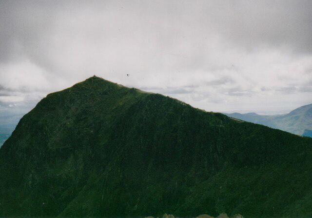
SH2182 : Holyhead Mountain
Ian Capper Photo source
Overview
Holyhead Mountain (Mynydd Tŵr) rises to 220 m on Holy Island, west of Holyhead, and is the highest point in the county of Anglesey. Its rocky summit combines coastal views with the remains of Caer y Twr hillfort and a Roman watchtower. Approaches from South Stack or Breakwater Country Park involve steep, uneven paths.
Holyhead Mountain [Mynydd Twr]
Holyhead Mountain rises to 220 m on Holy Island (Ynys Cybi), west of Holyhead. It is the highest point in the county of Anglesey. The rocky summit has a trig point on a circular plinth, with views across Holy Island, the Irish Sea and Anglesey towards Eryri. Ireland may be visible in exceptionally clear conditions.
Summit and history
The summit area contains Caer y Twr, an Iron Age hillfort with surviving stone ramparts, and the remains of a later Roman watchtower. Tŷ Mawr Hut Circles are a separate settlement lower down near South Stack. The lighthouse stands offshore on Ynys Lawd; Ellin’s Tower is a different, Victorian building on the clifftop.
Geology and terrain
Holyhead Quartzite, formed from quartz-rich sandstone altered by metamorphism, makes the mountain’s pale rocky outcrops. Walking involves uneven stone, heathland and steep summit paths. Longer circuits can include muddy ground and roads.
Walking routes
From South Stack
Use the clifftop car parks and follow paths towards the mountain, then the signed summit branch. Return by the same approach. Visiting South Stack lighthouse adds a separate descent by steps and a climb back to the clifftop.
Holyhead and mountain circular walk
The Wales Coast Path itinerary starts at Breakwater Country Park and runs through Holyhead, Penrhos Feilw, The Range and South Stack, returning via North Stack. It is published as 17 km including the summit detour. The 16 km version bypasses the summit, so follow the signed branch if the top is your goal.
Access and facilities
South Stack has RSPB parking, a visitor centre, café and toilets. Parking charges apply throughout the year and overnight parking is prohibited. Check current facility opening times before travelling. Breakwater Country Park is another starting point with parking and facilities.
Holyhead has a railway station. South Stack is about three miles from the town centre and has no direct public transport; allow for a walk or arrange a taxi.
Wildlife and safety
The cliffs at South Stack support breeding seabirds in spring and early summer; choughs can be seen year-round. These are coastal viewing opportunities rather than guaranteed sightings from the summit.
Keep clear of cliff edges and quarry drops. Strong coastal winds, wet rock and poor visibility can make this modest-height hill demanding. Wear footwear with good grip, carry a map and waterproof clothing, and check the forecast. Follow local signs and keep dogs under close control around wildlife and steep drops.
Explore routes near Holyhead Mountain [Mynydd Twr]
Walks starting near this hill. Open a route to check its map, distance and full itinerary.
Yr Eifl and the Gyrns guided mountain walk
View route
Beddgelert Forest: Llyn Llywelyn Woodland Circuit
View route
Beddgelert Forest: Derwen Circuit and Llyn Llywelyn
View route
Snowdon Pyg Track returning by Miner's Track
View route
Route planning notes
These notes describe possible approaches. Check a route's map and access information when planning your walk.
Holyhead Mountain from South Stack
Start at South Stack’s clifftop car parks on Holy Island. Follow the paths uphill towards Holyhead Mountain, then take the signed summit branch from the path around its flanks. Return by the same approach. The lighthouse’s steps and bridge are a separate visit.
Holyhead and mountain circular walk with summit
From Breakwater Country Park, follow the Wales Coast Path’s published loop via Holyhead, Penrhos Feilw, The Range and South Stack. Take the signed summit detour, then descend towards North Stack and return to the park. The publisher gives 17 km with the summit; its 16 km coast-path option bypasses the top.
Make a day of it, together
Find someone to share the walk with, or organise a day out along a route you like.
Photo Gallery
View all Photo could not load
SH2182 : Holyhead Mountain
Ian Capper
 Photo could not load
SH2183 : Holyhead Mountain
Ian Capper
 Photo could not load
SH2182 : View towards the summit of Mynydd Twr
Eric Jones
 Photo could not load
SH2182 : Path marker to North Stack (Ynys Arw)
Mat Fascione
 Photo could not load
SH2182 : View towards Holyhead from Holyhead Mountain
Jeremy Bolwell
 Photo could not load
SH2182 : The excavated foundations of the Roman Signal Station
Eric Jones
 Photo could not load
SH2182 : Holyhead Mountain
Eirian Evans
 Photo could not load
SH2182 : Triangulation pillar marking the top of Holyhead mountain.
steven ruffles
 Photo could not load
SH2182 : Trig Point, Mynydd Twr
Chris Andrews

SH2182 : Trig Point on Holyhead Mountain
Colin Park
Hill facts and local notes
Classifications
Elevation
220m
722 ft
Prominence
220m
Coordinates
53.3134, -4.6756
SH218829
OS Map
114
Explorer: 262
At the Summit
A trig point on a circular plinth among rocky outcrops. The source survey identifies rock beside the plinth as the highest visible natural point, while noting that ground beneath the plinth may be higher. The summit area also contains Caer y Twr hillfort and Roman watchtower remains.
Terrain & Geology
Holyhead Mountain is formed from Holyhead Quartzite, a hard metamorphic rock derived from quartz-rich sandstone. Pale quartzite outcrops form its rugged summit and slopes; some preserve traces of original bedding and quartz veins.
Views & Scenery
Views across Holy Island, Holyhead harbour and the Irish Sea, and over Anglesey towards Eryri (Snowdonia). Ireland may be visible in exceptionally clear conditions. South Stack’s lighthouse and seabird cliffs are separate sights on the surrounding coastal paths.
Best Seasons
Spring and early summer bring breeding seabirds to the South Stack cliffs, including guillemots, razorbills and puffins. Choughs are present year-round. Heather and coastal wildflowers add colour to the surrounding heathland.
History & Heritage
Name Origin
Mynydd Tŵr means “Tower Mountain” in Welsh.
Historical Significance
Caer y Twr is an Iron Age hillfort in the summit area, with surviving stone ramparts and the remains of a later Roman watchtower and signal station. A possible link with Caer Gybi Roman fort in Holyhead remains an interpretation. The Tŷ Mawr hut group near South Stack is a separate lower-slope settlement with a long prehistoric and Roman-period history.
Getting There & Facilities
Parking
RSPB car parks at South Stack are starting points for the southern approach. Charges apply throughout the year, and overnight parking or camping is prohibited. Breakwater Country Park has parking for approaches from the east and longer circuits. Follow current signs and check charges before leaving your vehicle.
Public Transport
Holyhead is the nearest railway station. RSPB states that South Stack is about three miles from the town centre and has no public transport to the reserve. Allow for the walk from town or arrange a taxi; do not assume a bus runs to the South Stack trailhead.
Nearby Facilities
South Stack has an RSPB visitor centre, café, shop and toilets; check current opening times. Ellin’s Tower has no toilets. Breakwater Country Park has a café and toilets, and Holyhead has a wider choice of shops and places to eat. Carry food and water for the walk.
Safety Information
Known Hazards
- Steep, uneven summit paths and rock that becomes slippery when wet
- Exposed cliffs and quarry drops; keep clear of edges and overhangs
- Strong coastal winds and sudden changes in visibility or weather
- Road walking and crossings on longer circuits
Seasonal Hazards
Autumn and winter storms can make the exposed summit and clifftop paths hazardous. Rain leaves rock slippery and some paths muddy; frost or ice adds further difficulty. In spring and summer, keep to paths and avoid disturbing nesting birds.
General Safety Tips
- Check weather conditions before setting out
- Carry appropriate clothing and equipment
- Let someone know your planned route
- Take a map, compass, and GPS device
- Carry emergency supplies: food, water, first aid kit, torch
Hills
Some common questions about the hills answered
Are there group walks up Holyhead Mountain [Mynydd Twr]?
Many walkers use Walkmates to join or organise walks with others. You can check for group walks around Holyhead Mountain [Mynydd Twr] through the maps
Are there other walkers around Holyhead Mountain [Mynydd Twr]?
Activity varies by location and time, but Walkmates lets you see whether others have shared walks or shown interest in this area. Find other people through the walking friends search walking friends for Holyhead Mountain [Mynydd Twr] search or of course create your own walk for Holyhead Mountain [Mynydd Twr]
Can I organise a walk to Holyhead Mountain [Mynydd Twr]?
Yes. If there aren’t any walks listed already, you can create a walk and make it available for others to join.
If you're signed up to Walkmates, you can create a walk to Holyhead Mountain [Mynydd Twr].
How do I find a walk up this hill?
There are often multiple ways to walk this hill, depending on experience and route preference. Walkmates helps you explore walks and routes that others have shared.
Can I suggest a new route up Holyhead Mountain [Mynydd Twr]?
Yes. You can suggest or create routes to share with others. Walkmates focuses on the social side of walking, so routes are used to help people organise walks and explore areas together, rather than as detailed navigation tools or route libraries.
Other uses really appreciate knowledgeable walkers sharing their routes. Share your favourite route to Holyhead Mountain [Mynydd Twr] here
The is an error or something incorrect about this hill. How do I let you know?
We always strive to keep the information on Walkmates as accurate as possible. If you find an error, please let us know through the contact form and we'll aim to correct it as quickly as possible
Community Discussion
Comments
Location
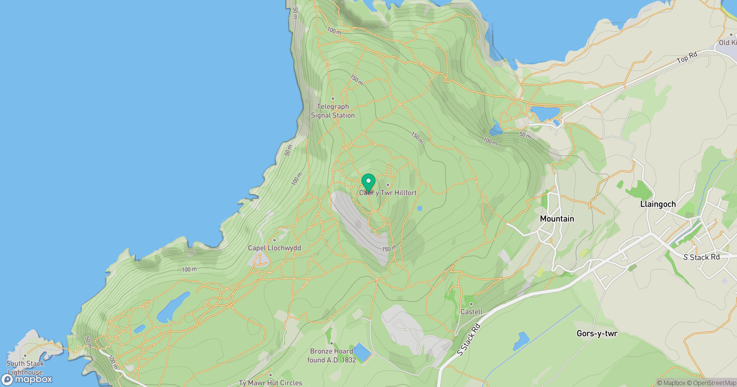
Grid reference: SH218829
View on OpenStreetMapOpens a map in a new tab, centred on the hill.
No comments yet. Be the first.